High-Tech Manufacturing
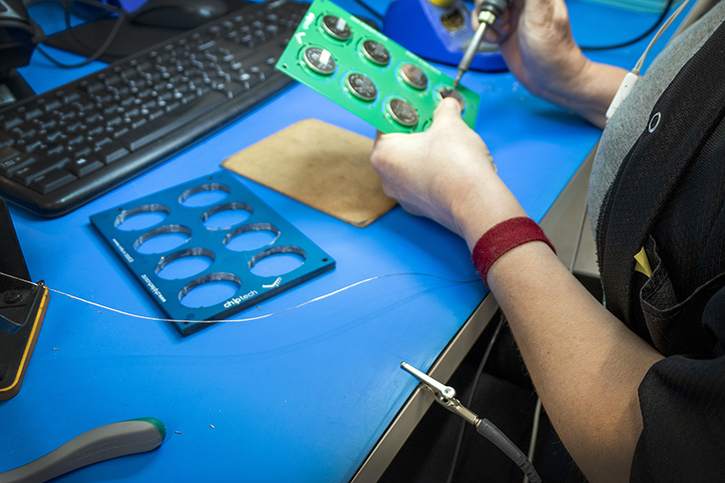
High-Tech Manufacturing On 1 October, we celebrated the completion of our facility renovations, affectionately nicknamed ‘The Block’ after the home renovation TV series. Our official
Understand GPS and how to get the best performance out of GPS Solutions.
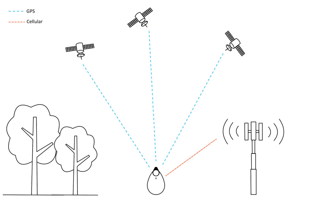
Each satellite transmits information about its position and the current time at regular intervals. These signals, travelling at the speed of light, are processed by the receiving devices to calculate how far away each satellite is, based on how long it took for the messages to arrive. GO 3G uses the Global Position System (GPS), whereas GO 4G utilises a more extensive Global Navigation Satellite System (GNSS), where there are typically between six and twelve satellites above the horizon at any one time. GNSS constellations are designed to provide worldwide positioning services with an accuracy ranging from five to fifteen meters when outside. GPS currently has approximately thirty one satellites in service, in comparison to GNSS which has over one hundred satellites in service. Satellite location works on a separate system from the cellular network. Unlike smartphones, Chiptech products use the GPS/GNSS solely, without Wi-Fi or cellular, to find a device users’ coordinates.
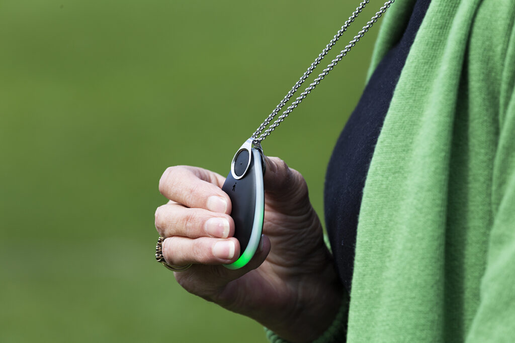
GO is a wearable mPERS device with cellular connectivity and GPS location technology, designed for safety, to summon help beyond the boundaries of the home.
Once the alert is sent, GPS data is acquired on how far away at least three satellites are, GO uses a process called triangulation to find a central location and transmits these coordinates to location mapping software, such as SmartCare Locate. The more satellites there are above the horizon, the more accurately GO can determine its location. GO 4G also reports vertical height information and requires at least four satellites, the fewer satellites available the less accurate the vertical height information will be. Approximate accuracy is also sent and can be displayed in mapping software.
When the location is determined it is sent over the cellular network. Where GO 3G used to send through a ‘Rough’ GPS location first to speed up this process, GO 4G does not. All emergency GPS locations are set to high precision. GO will then continue to send GPS coordinates at predefined intervals. The interval between sending locations is set in the GO configuration and in seconds. Typically, GO is set to send updated coordinates every two minutes.
If a location is not found, GO 4G will send a ‘No Fix’ report that indicates it is still able to communicate via cellular but cannot get GPS information, it will continue to try to obtain GPS coordinates.
A less precise GPS location will be sent during System Check to help speed up the process.
GO uses a feature known as Assisted GPS (A-GPS). The assisted GPS data file is downloaded via a cellular data connection from a server and the data is used to immediately identify the expected location of satellites in the sky. This method expedites satellite acquisition when compared to transferring the data from the satellites themselves; For example, instead of waiting 15 minutes for a GPS fix, it can take as little as 20 seconds.
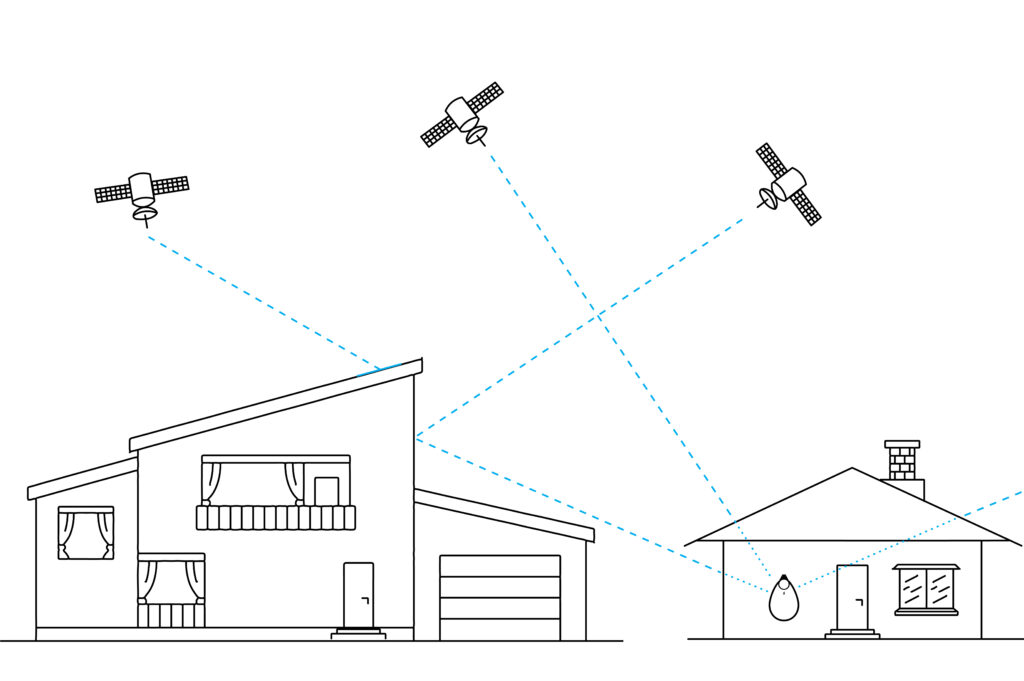
GPS was designed to be used outdoors and works by receiving signals from satellites orbiting the Earth. A connection to multiple satellites is needed to obtain the best location, and this is not always possible when indoors. As ‘line-of-sight’ to the sky is interrupted. When GPS is obtained inside, it is typically less accurate then if the device is outside, this is more obvious with GO 4G reports where an approximate accuracy is sent to mapping software and displayed as a radius.
In urban environments, nearby buildings may block or weaken GPS signals due to their construction materials. GPS signals may also bounce off these building (called ‘reflection’) and can result in less accurate locations being obtained.
When enabled in the System Check* GO will try to find its current location. This has a set timeout period applied so it will only try to obtain its location for the 2 minutes allocated, and then announce either a success or failure to find its location. The GPS satellite signals work best in line-of-sight situations where there are no obstructions between the satellite and the device. If GO is outside or positioned near a window with an adequate view of the sky, the performance of the device may improve.
It is important to understand the difference between the cellular location check and the Location check as you may find that GO is able to send an alert but due to its location and surrounding environment, may not be able to find a location.
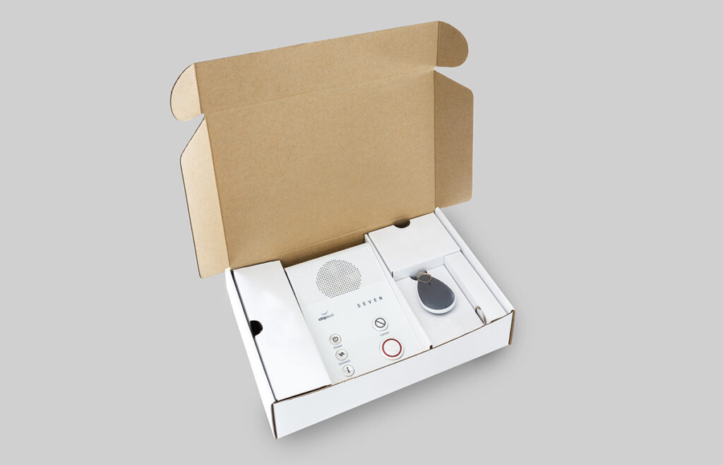
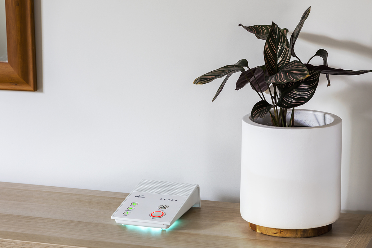
Chiptech offer a SEVEN, GO and Pearl combo package, designed to get the most out of using GO at home and when out and about. If GO is activated it sends out a quick RF signal, when it is within range of the SEVEN base unit it will receive back a confirmation and then GO will send a ‘Home’ report, in place of the first GPS location report. This ensures the user can be located quickly when in range of their home. The RF signal has a reduced range of approximately 150m, less than a standard Pearl, in case the user is nearby but not at their own property. If for any reason GO is unable to send an alert, it hands the reporting process over to the base unit using another RF signal with a 300m range), which will send the emergency alert.
High-Tech Manufacturing On 1 October, we celebrated the completion of our facility renovations, affectionately nicknamed ‘The Block’ after the home renovation TV series. Our official
The Count Down is on! On the 28 October, Telstra plan to close its 3G network across Australia, marking a pivotal moment in the evolution
Chiptech Celebrates Major Milestone with the Opening of Refurbished Headquarters Ōtautahi (Christchurch), New Zealand – Chiptech, a global leader in smart care technology, marked a